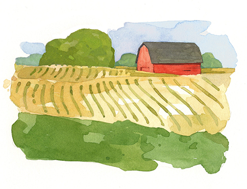
By Jennifer Sicking | Illustrations by David Scheirer
Photos courtesy UT School of Landscape Architecture
Video by Adam Brimer
Jane Polansky understands the pull of moving water, particularly that of the Tennessee River.
When the current Tennessee Scenic Rivers Association administrator began working at UT Martin, she would drive an hour and a half to fish and paddle the rolling river.
“Every time I go to the Tennessee River to fish, I never have a bad day,” she says.
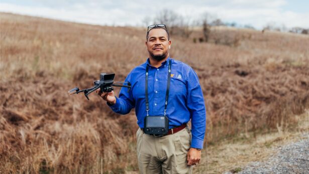
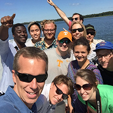
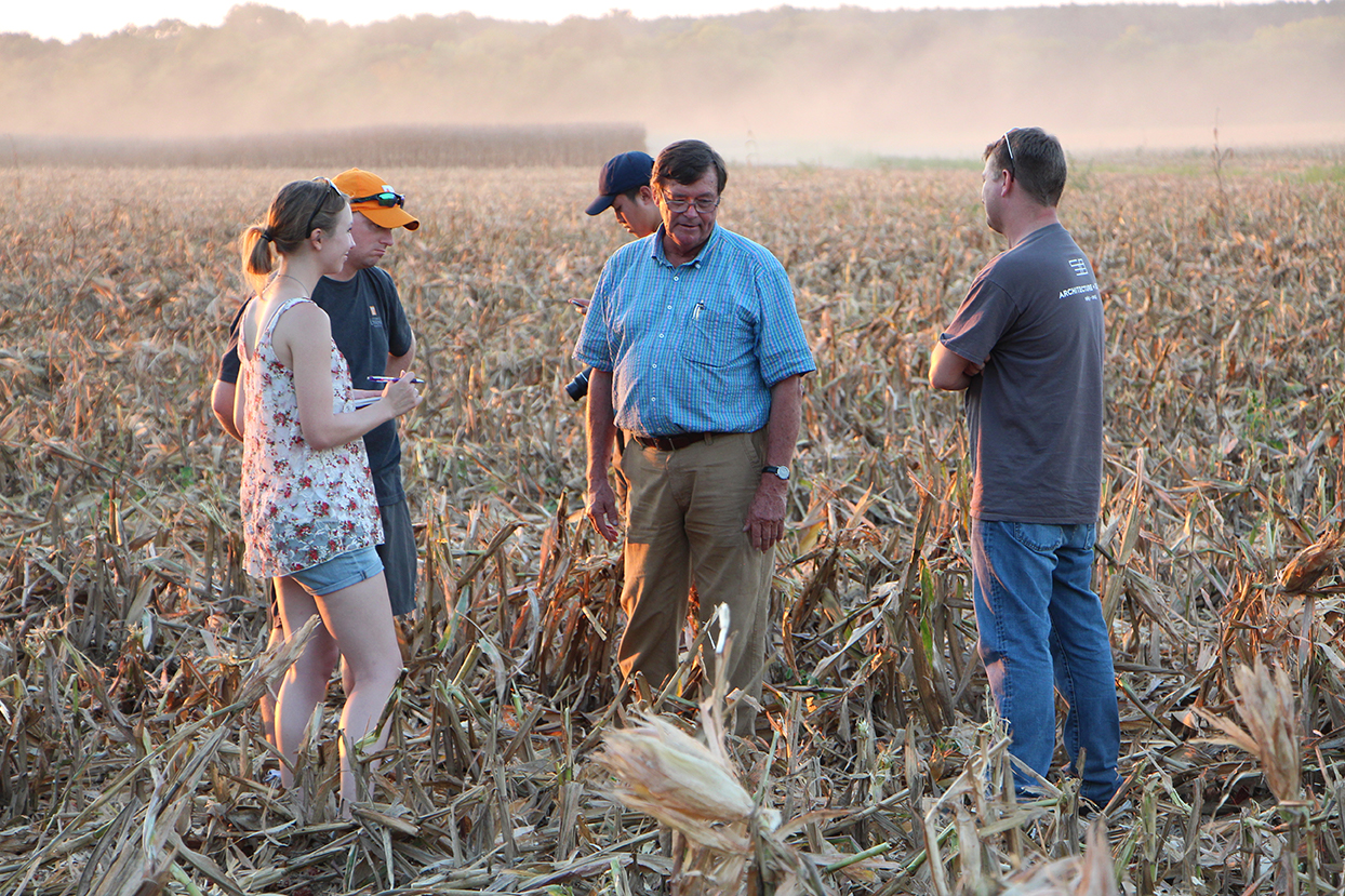
It’s why she has become an advocate for an idea generated by a UT class led by Brad Collett (Knoxville ’01). Collett, a UT Knoxville associate professor of landscape architecture and UT Institute of Agriculture associate professor of plant sciences, took his River Studio class on a 1,100-mile tour of the Tennessee River Valley in fall 2016. The River Studio operates in collaboration with the Governor’s Chair for Energy and Urbanism, a partnership of the UT College of Architecture and Design; Skidmore, Owings & Merrill; and Oak Ridge National Laboratory. Along the way, the students stopped frequently to interview town leaders, farmers, river system engineers and nonprofit directors to create a dialogue about the future of the river.
“It’s easy to get stuck in the problems of today, finding solutions for the issues immediately in front of us at the expense of being able to project where we want be in the future and doing what is necessary today to incrementally work toward that vision,” Collett says.
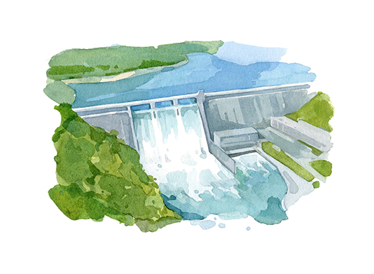
For it was an idea about the future that created the Tennessee River of today with its shipping channel and multifunction dams generating clean electricity and controlling flooding throughout the valley.
But, as a dammed river, it also does more.
A 2016 study by the UT Institute of Agriculture found that the combination of water recreation and waterfront property of the Tennessee Valley Authority’s managed river system creates an $11.9 billion annual economic impact. That’s about $1 million per mile of shoreline.
In Collett’s class, students see it generating an even greater impact in the century ahead.
Brian Stovall, a third-year graduate student in landscape architecture, says the river can build economic, recreational and environmental impacts all along its 652 miles.
“I think all of those three factors can be met with just the right mindset, with the right forward thinking, not just thinking the river is only something we can take from but something we can give back to that benefits later to future generations,” he says.
“Through their research, students found opportunities to build on the valley’s legacy of innovation,” Collett says. “Understanding the rivers’ assets and thinking critically about what are the next century’s challenges laid the foundation for proposals that are both compelling and credible.”
And those future possibilities have found champions.
“Some of the ideas had such an impact that several organizations, myself included, said, ‘Great idea,’” Polansky says.
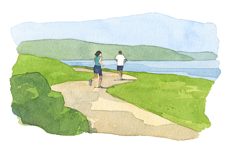
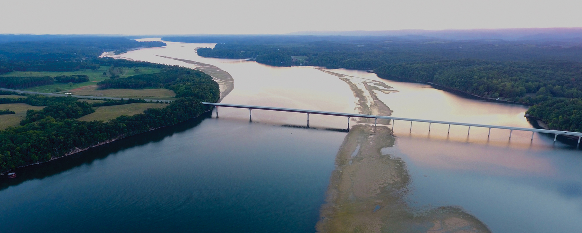
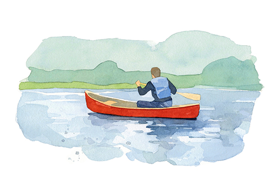
One idea that surfaced and generated Polansky’s excitement would create a Tennessee River Trail. The recreational trail would allow people to hike, bike and paddle along all 652 miles from where the Tennessee River begins at the confluence of the Holston and French Broad rivers near Knoxville to where it empties into the Ohio River in Paducah, Kentucky.
“It is kind of a gem,” says Alexa Macri, a UT Knoxville second-year graduate student in landscape architecture. “It’s one of the most biodiverse rivers in the country. It’s a beautiful, beautiful landscape that I think should be celebrated and be more of a part of our individual lives.”
Video courtesy UT Institute of Agriculture
Now, a coalition is building with Polansky’s Scenic Rivers Association, Knoxville-based Legacy Parks Foundation, TVA, the National Park Service, Tennessee State Parks and more. By the end of 2017, the coalition plans to have completed a gap analysis that shows what lies between major areas. What access and services exist, say, between Knoxville and Loudon or between Loudon and Chattanooga? And what will it take to fill those gaps?
The trail idea entered the public sphere this fall with the creation of a pitch book and its introduction at a regional rural tourism conference for Tennessee, Alabama and Mississippi.
While such a trail could create an economic impact all along the river, there is an obstacle to its creation. Most of the riverfront is in private hands. But Polansky notes that more and more cities are building trails along the river, and those existing trails could be integrated into the overall trail. Collett says the Tennessee River Trail could provide economic and ecological catalysts while supporting communities.
“This could be a symbol of what is possible if the states, regions and communities of the Tennessee River Valley work collaboratively towards a common goal,” Collett says. “We hope to reignite this spirit of regionalism through the project and look to bring it to bear on some of the larger challenges and opportunities that lie ahead.“
His class—a multi-year teaching, research and outreach initative—will continue looking to the river for ideas to change the future.
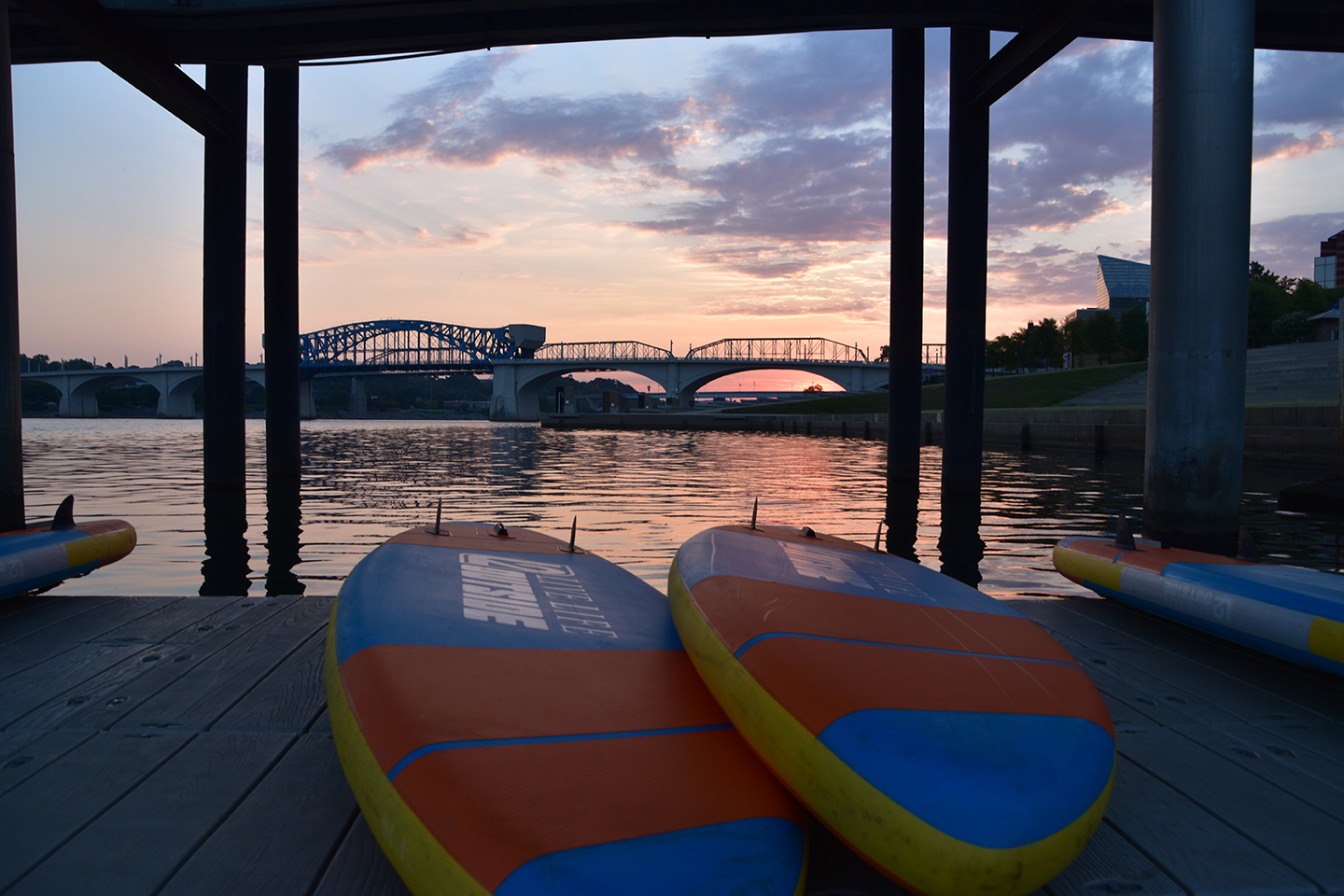
Kim White (Chattanooga ’82) knows the power of a city returning to the river.
“For Chattanooga, it was an economic investment that returned the city to its roots,” says the president and CEO of the River City Company, which works for economic development in downtown Chattanooga.
During the 1980s, many of the manufacturing jobs at plants that lined the Tennessee River in Chattanooga traveled overseas.
“Downtown was a wasteland,” she says.
City leaders turned to the river, making an investment to turn brownfields, former industrial sites, green again. The city first built the River Walk, then slowly lengthened that riverfront path, which now stretches for 13 miles. By the time the most recent 3-mile addition opened, $255 million in planned private residential and commercial investment had occurred along that section.
“It really does pay to invest to make sure your city is walkable and connected,” White says.
The River Walk and Tennessee River have attracted Iron Man triathlon events, which have had a $1 billion impact in Chattanooga. While thousands turn out to cheer competitors, athletes also visit throughout the year to train. In each visit, they buy gas, stay in hotels, eat at restaurants —all of which impacts the local economy.
As a result, Chattanooga’s downtown no longer resembles a wasteland. Since late 2015, $1 billion in investment has caused vacant lots to disappear under new construction and empty buildings to be reimagined into new lives. People are moving back into downtown.
And it started with a return to the river.
In many ways, Ron Robertson (Martin ’73, Knoxville ’75) never left. His family has farmed along the river in Hardin County in Southwest Tennessee for about 100 years. As a child, he’d walk a mile through the fields to play on the river. He listened to stories his father and grandfather told of life along the river. He passed along his experiences and his family’s stories to UT students who visited him on his farm during their tour.
As he farms 3,000 acres of soybeans, corn and wheat, he sees barges moving products along the river and boats making their way to the Gulf of Mexico. And he watches the waves and swift-moving river erode farmland, creating 20-foot cliffs where once had been gentle slopes into the water. One to two feet of shoreline along the county’s 70 miles of riverfront washes away each year.
But floods also reach the bottomland. In July 2013, significant rainfall across Tennessee meant TVA engineers needed to release water from lakes. The Tennessee River swelled up and out, covering planted farmland. Hardin County farmers lost an estimated $7 million in revenue. When the waters receded, it was too late to replant.
“You have to respect the river,” Robertson says. “There’s nothing you can do if it’s going to rise. You can’t stop it. You have to take the losses. We’re risk takers.”
But the farmers banded together to create the Tennessee Valley Farmers group to work with TVA engineers. And, through continued conversations, they’ve learned from each other and learned to work together. Engineers contact the organization to discuss water releases and how long water can flood the farmland.
Now, Robertson says he’s hoping farmers can work together again to solve the erosion issue.
Collett’s students listened as Robertson and other farmers spoke of their concerns. They heard from Kentucky farmers who lost crops and millions of dollars when floods backed up the Mississippi and Ohio rivers. One of the students began with wondering, what if … what if, instead of planting corn, soybeans and cotton, farmers turned to products that need flooding or can survive it like rice and bamboo—or nurseries growing native plants that could be used to restore riverbanks, stream corridors and wetlands?
It’s just one of the concepts with which Collett’s students continue to wrestle in his River Studio.
Polansky, for one, is excited about the ideas generated there. “Now’s the time to look at the landscape and say, ‘What do we want it to look like 20 years from now, 30 years from now?’”